

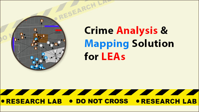
Crime analysis and mapping solutions give law enforcement agencies a data-driven platform to visualise criminal hotspots, allocate resources efficiently, and predict emerging crime trends. Cyber expert Anuraag Singh has developed an in-house GIS-based tool specifically designed for Delhi Police and other Indian LEAs to enable smarter, evidence-based policing.
What Is a Crime Analysis and Mapping Solution?
A crime analysis and mapping solution is a decision support system (DSS) that aggregates crime data from police records and spatial databases, then displays it visually on geographic maps. Officers can identify patterns, track serial offenders, and deploy manpower to high-risk zones before incidents occur rather than responding reactively.
The solution replaces traditional paper-based crime registers with a digital, searchable, and map-enabled interface — a core component of modern e-Policing.
What Are the Key Features of the Solution?
- Criminal hotspot mapping — Zones with high crime density are marked in red on an interactive map, allowing commanders to see at a glance which areas require intensified patrolling.
- Beat mapping — Determines precise patrol boundaries based on crime distribution rather than arbitrary geographic divisions, ensuring law enforcement personnel cover the highest-risk corridors.
- Filter and zoom — Officers can filter incidents by crime type, date range, or police station jurisdiction and zoom into street-level detail for investigation support.
- Predictive policing module — Using historical incident data and temporal patterns, the system forecasts probable crime locations and time windows, enabling pre-emptive resource deployment.
- Data-driven decision support — Provides senior officers with summarised analytics dashboards to plan operations, allocate additional manpower, and review the effectiveness of interventions.
How Does It Benefit Delhi Police?
Delhi records one of the highest crime rates among Indian metro cities, with particular concerns around crimes against women. The crime analysis and mapping solution addresses this by enabling data-driven strategies across three dimensions:
- Operational efficiency — Patrol resources are directed to verified hotspots rather than distributed uniformly, improving response times and deterrence effect.
- Investigation support — Spatial analysis reveals geographic links between crimes, assisting investigators in identifying repeat offenders or organised criminal networks operating across police station boundaries.
- Public safety planning — DCP-level officers gain macro-level insights into district-wide crime trends, enabling policy-level interventions such as lighting improvements, CCTV deployment, or community policing initiatives.
What Role Does GIS Play in Crime Mapping?
Geographic Information Systems (GIS) is the backbone of this solution. GIS allows the system to combine crime incident records with spatial data — street layouts, police station boundaries, population density maps, and CCTV locations — to produce accurate crime analysis maps.
Key GIS functions in the platform include spatial clustering analysis to identify hotspot areas, temporal heat maps showing crime frequency by hour and day, geographic profiling to predict the likely base location of repeat offenders, and route optimisation for patrol vehicles responding to high-priority zones.
Why Is Crime Analysis Critical for Indian LEAs?
Crime analysis is no longer an optional function for Indian law enforcement agencies. It is essential for identifying emerging crime trends before they escalate, organising law enforcement operations with limited manpower, planning targeted crime prevention strategies in specific communities, and meeting the accountability requirements of smart city and safe city programmes mandated by the Ministry of Home Affairs.
The solution developed by Anuraag Singh bridges the gap between raw FIR data and actionable intelligence for front-line officers.
How to Access the Solution?
The crime analysis and mapping solution is available to Law Enforcement Agencies, District Police Headquarters, and smart city project managers. For a demonstration, system integration queries, or deployment support, contact cyber expert Anuraag Singh directly.